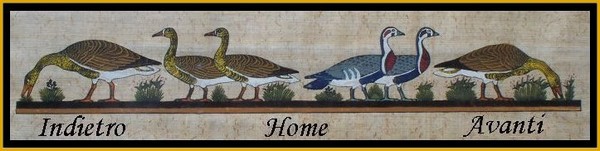
Giochi dell'Oca e di percorso
(by Luigi Ciompi & Adrian Seville)
(by Luigi Ciompi & Adrian Seville)
|
Giochi dell'Oca e di percorso
(by Luigi Ciompi & Adrian Seville) |
|
|
| Torna alla ricerca giochi |
| Nome autore: | Jefferys Thomas |
| Nazionalità: | Inghilterra |
| Città: | |
 |
Thomas Jefferys (1719-1771) was in his day the preeminent publisher of maps related to Great Britains American colonies, though his contributions extended far beyond American subjects. Indeed, he was the leading British chart and mapmaker of his day, and his work contributed toward making London the universal centre of cartographic progress (Cumming, p. 45). Born the son of a Birmingham cutler, in 1735 at age 15 or 16 Thomas Jefferys was apprenticed to map engraver and publisher Emanuel Bowen. He rose quickly, though, for in 1746 he was appointed Geographer to the Prince of Wales. This relationship endured when Prince George acceded to the throne as George II, at which point Jefferys was appointed Geographer in Ordinary to the King. The next few years, during which he has been perceived as a quasi-official publisher to branches of the British government, during the Seven Years (French and Indian) War, were probably his most prolific and profitable. Thereafter he undertook the survey and publication of large-scale maps of British counties, an overly-ambitious project which led to his bankruptcy in 1766 (see Harley). His stock was sold at auction, though he was able to continue operating his business by some friends who have been compassionate enough to re-instate me in my shop (Worms and Baynton-Williams, p. 350). He died in 1771, though from 1772-76 his son Thomas continued the business in partnership with William Faden. Jefferys himself was a map engraver and publisher rather than a cartographer. Rather, his American maps were copied from sources published in America or France, based on original surveys obtained through his superb connections, and/or compiled by the brilliant-but-morally-suspect Braddock Mead. Cumming describes Mead, who went by the alias John Green, as the genius behind Jefferys (p. 45). Green, according to Cumming, had a number of marked characteristics as a cartographer. One was his ability to collect, to analyze the value of, and to use a wide variety of sources; these he acknowledged scrupulously on the maps he designed. Another outstanding characteristic was his intelligent compilation and careful evaluation of reports on latitudes and longitudes used in the construction of his maps. (p. 45) For more on the career of Thomas Jefferys see: - William P. Cumming, British Maps of Colonial America (Chicago: University of Chicago Press, 1974). - Matthew Edney, Thomas Jefferys and the Mapping of North America. Accessible on the web site of the Osher Map Library. A brief-but-careful survey of Jefferys career and in particular his cartographic sources. - B. Harley, The bankruptcy of Thomas Jefferys: an episode in the economic history of eighteenth-century map-making, Imago Mundi vol. XX (1966), pp. 27-48. Harley provides an excellent survey of Jefferys career, with particular emphasis on his bankruptcy. - Laurence Worms and Ashley Baynton-Williams, British Map Engravers (London: Rare Book Society, 2011), pp. 352. Provides significant biographical information and a long account of Jefferys many cartographic works, helpfully differentiating between his output and that of his son. (Michael Buehler of Boston Rare Maps, May 16, 2018.) |
Vai alla ricerca giochi Vai all'elenco autori